
On the border between Italy and Switzerland is Testa Grigia, a summit in the Alps 3,480 metres above sea level, where skiers flock. Among the attractions is a celebrated mountain refuge, the Rifugio Guide del Cervino. Its name leaves little doubt about its origins. Built by Italians in 1984, it has welcomed visitors for four decades.
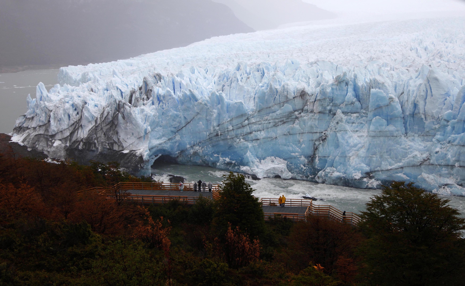
Several years ago, its location became the subject of an unusual territorial dispute. Does it fall under Italian sovereignty, or Swiss? It was built on Italian soil, but the boundary between the two countries follows the watershed, the natural divide determining the direction in which water flows down the mountain. As temperatures rose, much of the Theodul Glacier melted and retreated, exposing the underlying rock and altering the watershed, thus altering the boundary. Today, more than two-thirds of the refuge is technically on Swiss territory.
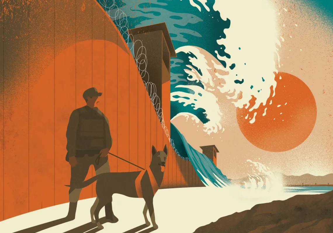
It prompted negotiations between Rome and Bern over adjustments to the boundary that would accommodate both countries’ interests. A preliminary understanding was reached under which the refuge would remain under the administration of the Italian municipality of Valtournenche, yet it offers a striking illustration of how global warming is altering the physical geography on which international borders depend, with potentially far-reaching legal and political consequences.
The problem is particularly acute where rivers form national boundaries, which is often the case. Even under ordinary circumstances, erosion and sediment deposition can gradually alter the course of a river, but climate change hastens these processes. Shifting rainfall patterns increase the risk of flooding, reshape river channels, and transform the surrounding landscape. Such changes can cause disputes over territorial sovereignty, water rights, access to natural resources, and hydroelectric power.
Speaking to Al Majalla, Hisham Issa, Egypt’s former coordinator for the UN Framework Convention on Climate Change (UNFCCC), said climate change “can affect national borders, both directly and indirectly, and may even become a factor influencing national sovereignty, the balance of power, and international geopolitical conflicts”.
Maritime sovereignty
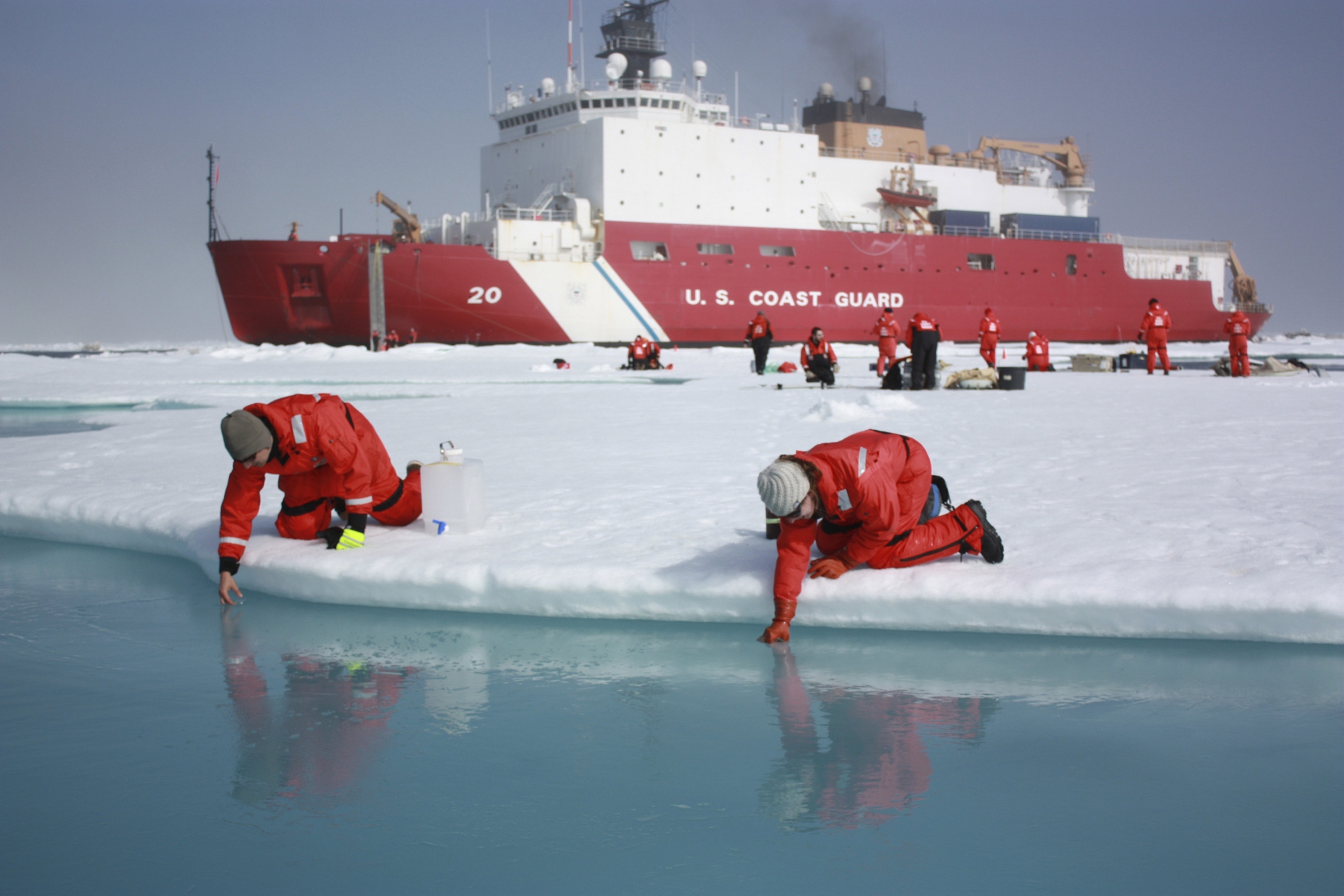
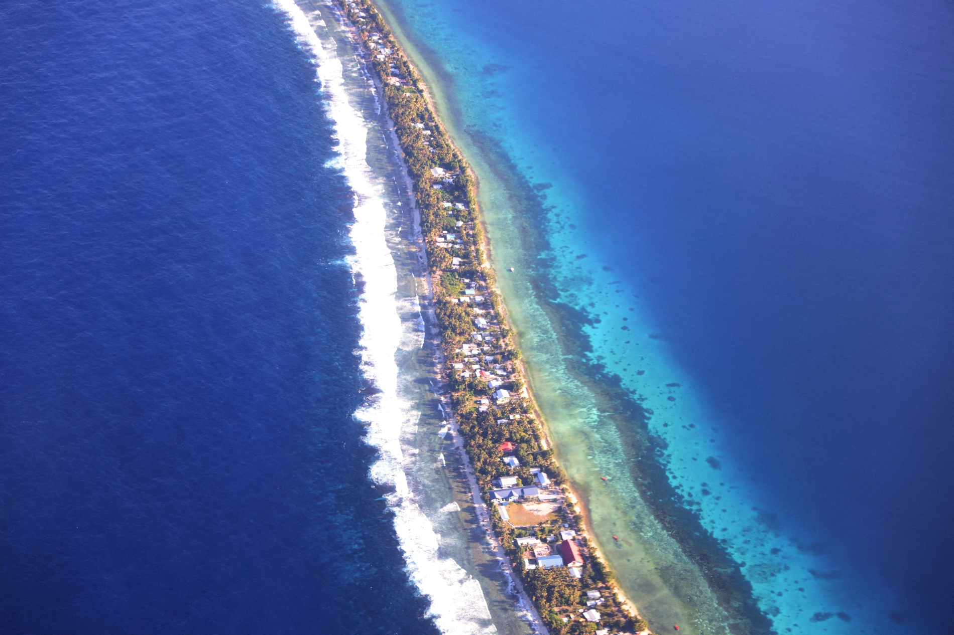
Sea levels rose by approximately 20cm between 1901 and 2018, and the trend is expected to continue. Global warming is accelerating the melting of glaciers and the vast ice sheets covering Antarctica and Greenland. As ocean temperatures rise, seawater expands in a process known as thermal expansion. Together, these phenomena contribute to the retreat of coastlines and pose an existential threat to some low-lying island states, including those in the Pacific.
Addressing the 26th Conference of the Parties to the UN Framework Convention on Climate Change (COP26) in Glasgow in 2021, Tuvalu’s then prime minister Kausea Natano explicitly called for the protection of island nations threatened by rising seas. Pressing legal questions remain about territorial boundaries and these states' rights to preserve their land.
Issa said: “Countries will face the challenge of preserving their sovereign rights despite the physical changes affecting their territories and coastlines. This underscores the importance of legally securing maritime boundaries, documenting geographical coordinates, and reaching international understandings that prevent climate change from becoming a pretext for disputes over territory or resources.”
Rising seas also present a formidable challenge to international law. Under Article 5 of the 1982 UN Convention on the Law of the Sea (UNCLOS), the normal baseline from which the breadth of a state’s territorial sea is measured is the low-water line along its coast. The coastline therefore provides the geographical reference from which the extent of a country’s territorial waters is calculated.
Article 3 entitles every coastal state to establish the breadth of its territorial sea, over which it exercises sovereignty, up to a maximum of 12 nautical miles from the baseline. Article 57 stipulates that the exclusive economic zone (EEZ) must not extend beyond 200 nautical miles from that baseline. Article 76 governs the continental shelf, establishing a general entitlement extending to 200 nautical miles while also providing for circumstances in which its outer limits may extend further.
These provisions confer important economic rights on coastal states. Within their EEZs, they enjoy sovereign rights to explore, exploit, conserve, and manage living and non-living natural resources. They also exercise rights over the resources of the continental shelf, including those found on and beneath the seabed. Their jurisdiction within the EEZ extends to the construction of artificial islands and installations, marine scientific research, and the protection of the marine environment.
Shelves and zones
A study combining international law with technical and geographical analysis examined the effects of rising sea levels on the baselines and geographical reference points used to delimit maritime zones. It explored possible scenarios of coastal change and their implications for maritime boundaries.
Published in Frontiers in Marine Science in October 2024, it found that rising seas could cause established geographical reference points to retreat or disappear, with consequences for the baselines from which maritime entitlements are measured. The researchers also emphasised that the effects of sea-level rise would differ considerably from country to country. Distinguishing between EEZs and continental shelves, they highlighted the economic stakes involved.
Maritime disputes concern far more than the waters themselves, extending to valuable resources beneath the seabed, particularly oil and natural gas. The central difficulty arises when rising seas push the low-water line inland. If the baseline moves with it, what becomes of the outer limits of the territorial sea? Depending on how the law is interpreted and applied, such shifts could reduce the maritime areas claimed by coastal states, potentially diminishing their access to hydrocarbons and fishing grounds. For some countries, the consequences could be considerable.