How China's Earth Eye helped Iran target US bases

Satellite technology from China and data analysis from Russia have helped Tehran be far more precise with its missiles and drones in its war against the US and Israel.

Shutterstock

How China's Earth Eye helped Iran target US bases

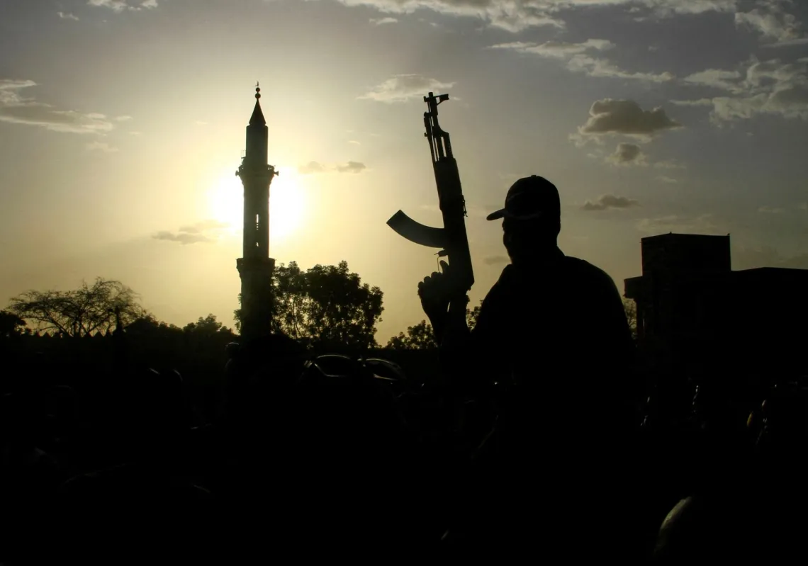
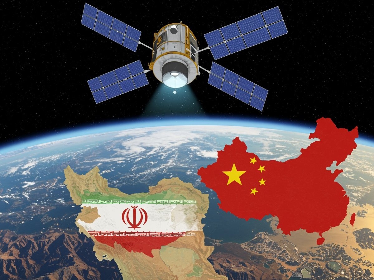
Since the United States and Israel first launched their attacks on the Islamic Republic on 28 February 2026, Russian and Chinese satellite support to Iran has proved critical. According to the Financial Times, Iran secretly acquired Chinese reconnaissance capabilities linked to the satellite Earth Eye (TEE 01B) in late 2024. They have been used to track bases and sites in Saudi Arabia, Jordan, Bahrain, and Iraq during the latest war, allowing Tehran to build a more accurate target bank.

Yet the purchase went beyond the satellite itself. It also included access to commercial ground stations operated by a Chinese company that provides satellite control services and data processing. With this network spread across several continents, the user can download and analyse data quickly—a decisive advantage in modern military operations (China denies that the satellite was used to direct attacks on US targets).

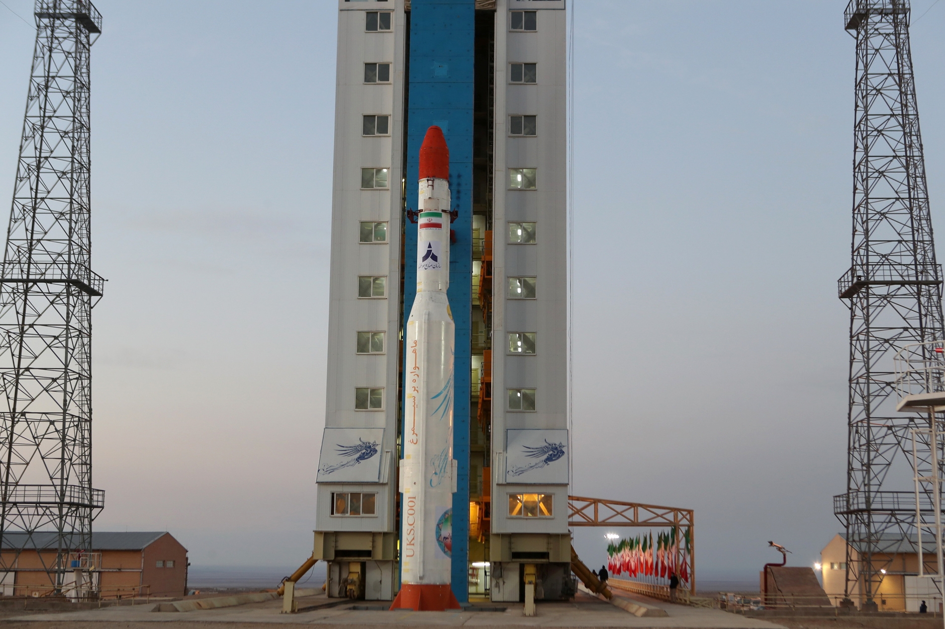
The Chinese satellite Earth Eye shows how commercial satellites are becoming influential militarily. Developed by a Chinese company and launched in June 2024, it was originally designed for high-precision Earth observation, but quickly took on political and security significance after reports suggested it had been used in conflicts in the Middle East.

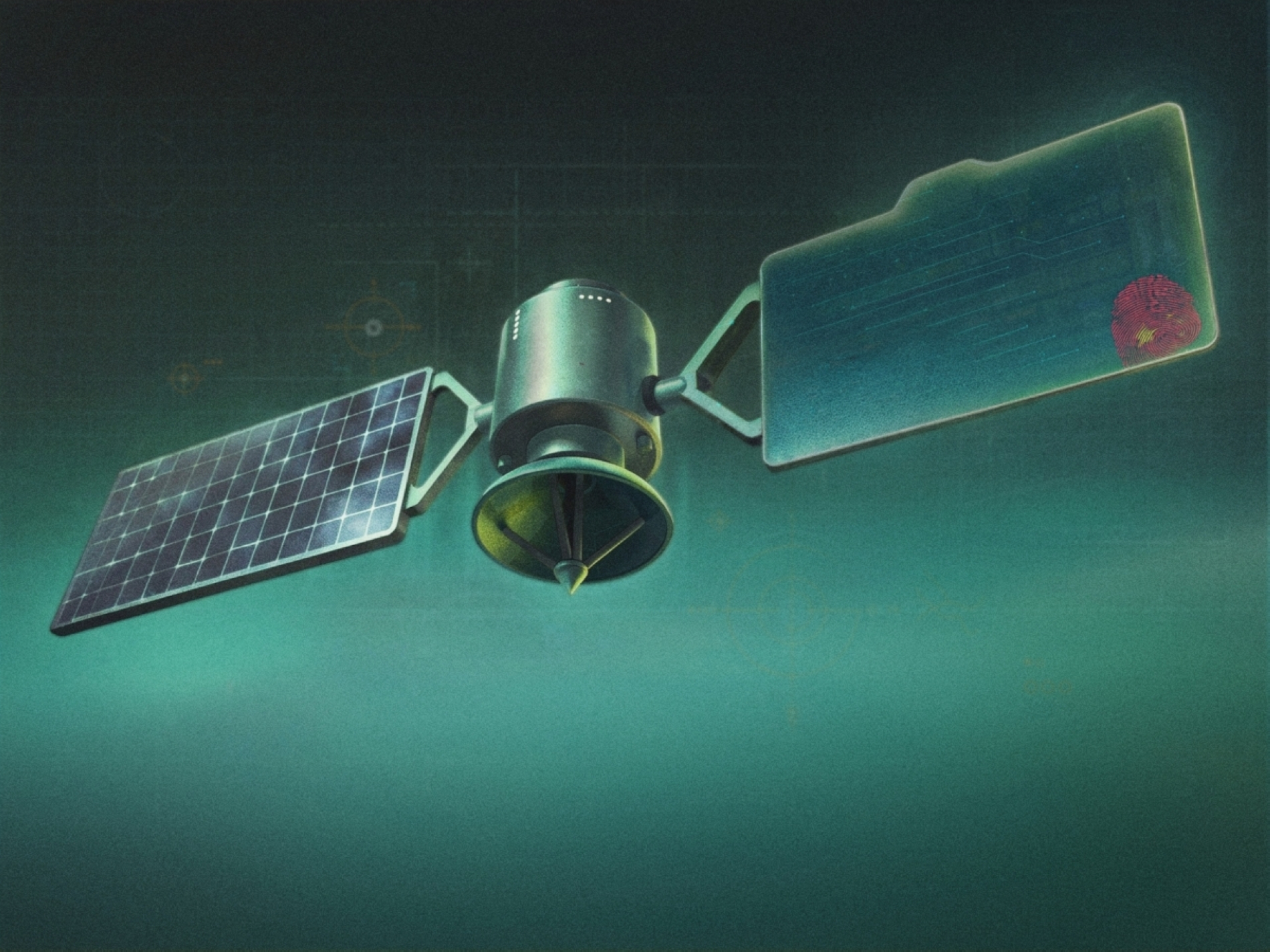
It has advanced imaging capabilities, making it a high-resolution system. It can capture panchromatic imagery at about half a metre resolution, allowing detailed observation of assets such as aircraft and vehicles within military bases. Its multispectral capability provides colour at a slightly lower resolution, making it useful for assessing the nature of targets and changes in the surrounding environment.

Lina Jaradat

An eye in the sky

With a wide 14km swathe, the satellite can cover large areas in a single pass, making it effective for monitoring broad zones without requiring multiple repeat passes. The satellite operates in a low, sun-synchronous orbit at an altitude of roughly 545km. This allows it to image the same location under similar lighting conditions, making it easier to compare imagery over time.

The feature is particularly valuable for military analysis, enabling analysts to track changes at sensitive sites, whether it be equipment movement or damage. Reports indicate that Iran gained control of the satellite through an arrangement known as in-orbit delivery, a method that transfers control after launch without going through traditional channels for selling technology.

If confirmed, it would mean advanced imaging capabilities are available to a party that had not previously had this level of resolution, bypassing restrictions on the transfer of sensitive technologies. The imagery is believed to have been used to plan drone and missile strikes by identifying precise locations inside military bases, then used to assess the results.

Earth Eye can capture panchromatic imagery very close up, allowing detailed observation of assets such as aircraft and vehicles within military bases

Ground infrastructure also plays a pivotal role in maximising the satellite's value. It is thought to be operated through a network of commercial ground stations that enable rapid data transfer and efficient processing. This provides near-real-time imagery, facilitating quick analysis and decision-making. China has therefore given its ally an eye from space. Iran already has a range of offensive tools, but a long-standing challenge has been the quality of its view.

If China is strengthening Iran's observation, Russia is helping translate that data into practical effects on the battlefield. Moscow reportedly supplied Iran with targeting information relating to US ships and aircraft in the Middle East, satellite imagery, and cyber support intended to improve the accuracy of its strikes. 

And while China and Russia have proved critical in aiding Iran's latest military efforts through their technological and surveillance edge, Iran also has a formidable satellite arsenal. According to data from analytics and engineering firm BryceTech, by the end of 2024, Iran had launched about 31 satellites, alongside four active launch vehicles and three main launch sites, either operational or under development. The programme spans military, civilian, research, communications, and sensing satellites.

Reuters
Iran's Simorgh satellite-carrying rocket is at an undisclosed location inside Iran.

At the heart of this programme are Islamic Revolutionary Guard Corps (IRGC) military satellites, especially the Noor series, alongside other projects such as Soraya, Mehda, Kayhan 2, Hatef 1, Chamran 1, and orbital units such as Saman 1. And while this seems like a lot, the number of satellites does not necessarily equate to higher quality or full independence. The challenge lies in resolution, continuity, and reliability.

The Imam Khomeini Space Launch Terminal near Semnan is Iran's most important civilian site. Alongside it is the IRGC facility at Shahroud, which underpins military activity, particularly the launches of the Noor satellites. The Chabahar spaceport is also a project under development, through which Iran aims to expand its future launch capabilities.

Yet there are obvious limits to Iran's space programme, and Tehran understands that its domestic infrastructure lacks the full capability to place some satellites into a sun-synchronous orbit at the required inclination, which is critical for reconnaissance satellites. So, it has turned to Russia to launch and operate some of its most important satellites.

Iran is clearly not a major space power like the US, China, or Russia, but it has moved beyond its initial limited attempts and built a substantial space base. Functions from reconnaissance and monitoring movements to updating target banks and assessing strike outcomes remain useful but limited, and do not provide continuous, highly reliable coverage. Reliance on external actors for launches and for observational technology also exposes continuing gaps in resolution, optimal orbits, and full operational independence. Still, it is a start.

font change

Related Articles