
Weeks after the French withdrawal from Syria in April 1946, a group of parliamentarians submitted a memorandum to then-Speaker Saadallah al-Jabri, demanding the return of four districts that had been severed from Syria and annexed to Lebanon upon its creation in 1920: Hasbaya, Rashaya, the Beqaa, and Baalbek.
The letter was forwarded to President Shukri al-Quwatli, who dismissed it, stating: "It makes no difference whether these districts belong to Syria or Lebanon, for this nation will one day unite, and when that happens, there will be no Lebanon and no Syria, just one Arab nation."
President al-Quwatli belonged to a generation that believed in a unified Arab world, refusing to recognise the artificial borders imposed by the 1916 Sykes-Picot Agreement. He rejected demarcating the border with Lebanon—or even discussing the matter—before events in both countries took centre stage: In Syria, a series of coups and countercoups that rocked the nation starting in 1949, and in Lebanon, its plunge into civil war in 1975. As a result, the de facto border between the two countries remained unchanged from the one drawn during the early mandate period, despite its flaws and ambiguities.
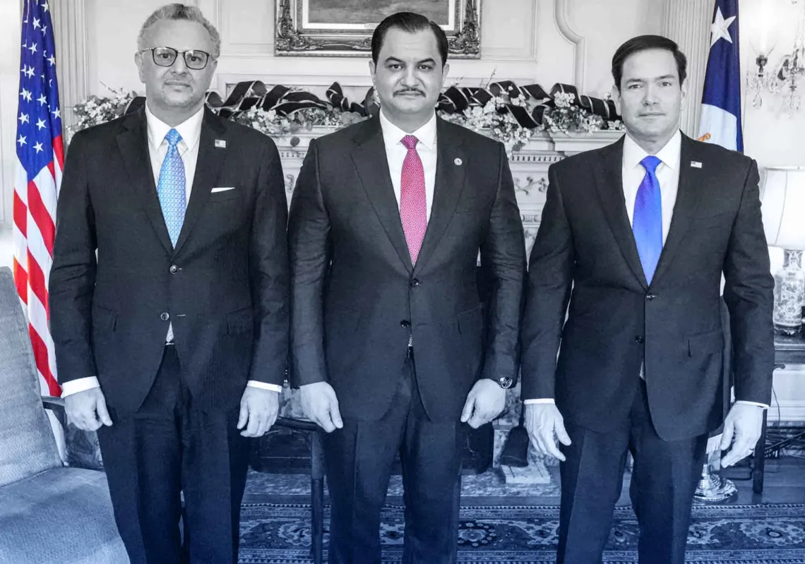
The issue has recently resurfaced following a mid-April meeting in Damascus between Lebanese Prime Minister Nawaf Salam and Syrian President Ahmed al-Sharaa, as well as an earlier meeting between the defence ministers of the two countries, which took place in the Saudi port city of Jeddah last March.
Salam is a legal scholar who built his reputation first by studying law at Harvard and the Sorbonne, then by teaching it at the American University of Beirut, and finally, as a judge and then, president of the International Court of Justice in The Hague.

He has a keen interest in the full implementation of international resolutions pertaining to Lebanon, including UNSCR 1701, which calls for Hezbollah's withdrawal south of the Litani River but has never been respected by the Iran-backed Lebanese militia, and UNSCR 1680, which has been partially implemented. The latter calls for demarcation of the Syrian-Lebanese border, which has never been done, and the establishment of diplomatic relations between Beirut and Damascus, which took effect in 2008.
Salam is pushing hard for demarcation and has agreed with the Syrians to form technical committees to delineate these long-disputed borders—a task none of his predecessors at the Grand Serail could broach, whether that was due to Hezbollah’s opposition, Syria’s reluctance, or the glaring deficiencies in the old French maps on which these borders were based.
These maps are now archived in France’s Military Institution under reference SHD/GR 4 H 169/2, comprising documents from the French Army’s Third Bureau, the intelligence and logistics division during the Mandate era.
Covering the period from 1916 to 1940, they note sub-regions and administrative divisions along the border but fail to clearly mark the international and political boundary between Lebanon and Syria. This ambiguity complicates, for instance, determining the status of the Shebaa Farms, occupied by Israel—the very issue Hezbollah exploits to justify maintaining its arsenal after Israel’s withdrawal from southern Lebanon in May 2000.

The million-dollar question is: Are the farms Syrian or Lebanese? And what of the other villages along this nebulous border if a new Lebanon and a new Syria finally achieve a historic demarcation—something impossible under Iranian influence, Hezbollah, and Bashar al-Assad?
Under the Ottomans, there were no precise borders between modern-day Syria and Lebanon; instead, there were only administrative divisions in the form of vilayets and sanjaks. Two months after Lebanon's independence on 1 September 1920, colonial France and Britain agreed to demarcate their borders with Syria and Palestine.
The meetings took place in the total absence of Arab negotiators from the three countries, and an agreement was signed on 7 March 1923 by French Colonel Maurice Paulet and British Colonel Stewart Newcombe. Named after them, the agreement established 71 border points (38 between Lebanon and Palestine), stretching from Ras al-Naqoura in the west to Tel al-Karkh near the ancient Roman bridge at the Wazzani River. The Lebanese-Palestinian border was clearer than the Syrian one, and they were soon formally recognised by the League of Nations.
Syrian frontier
Meandered through mountains, valleys, and plains, the Syrian frontier was often more difficult to define, and far more overlapping and complicated. On paper, it spanned 360–375 km, from the Mediterranean coast to the Nahr al-Kabir in the north and the tri-border area with Palestine in the south.
These borders were drawn based on old Ottoman maps, French colonial surveys, and the 1862 topographical maps of the French Army, where, for example, the Shebaa Farms appeared within Quneitra’s jurisdiction. Yet, most French maps were incomplete, sometimes placing regions in Syria, and at other times in Lebanon. Archives reveal demarcation efforts continued into the 1930s but achieved only 80% completion.
The borders were administrative, not sovereign. To the French, both countries fell under a single occupation. The lines served tax collection, agricultural zoning, and security—not statehood. No formal agreement between Damascus and Beirut ratified them. French officers later reported technical errors, particularly discrepancies between administrative borders and tax jurisdictions. Paris ignored requests for corrections, leaving a porous boundary that allowed farmers and citizens to cross unchecked.

Lebanon frontier
Following the termination of the French Mandate at the end of World War II, Lebanon officially sought to demarcate its borders with Syria to affirm its sovereignty. However, the Syrians repeatedly ignored this demand, whether under civilian and democratic government or military rule. Most Syrian leaders saw Lebanon as a breakaway province awaiting reunification. The issue faded entirely after Syria’s 1976 military intervention in Lebanon.
The Shebaa Farms
The agricultural Shebaa Farms stretch along the southwestern slopes of Mount Hermon, 14km long and 1–3 km wide, with 14 farms. Bordered by the Lebanese Sunni village of Shebaa, Syria’s Golan Heights, and Israel, the area was historically farmed by Lebanese citizens from the Shebaa village. Early French maps placed it within Syria’s Quneitra region, codified by Legislative Decree No. 201 under Syrian President Taj al-Din al-Hasani. The Syrian army only entered the Shebaa Farms in 1958, during a popular revolt against then-Lebanese president Camille Chamoun, which was backed by Syrian intelligence.
Syria would continue to control the farms until they were occupied by Israel during the 1967 war. All throughout, Lebanon never claimed them, and even Syrian officialdom paid little attention; the Shebaa Farms were nothing but a footnote when compared to the fall of the Golan in its entirety. Post-1967, Lebanon remained silent. During the 1973 armistice talks, Syria acknowledged international maps designating the farms as occupied Syrian territory.
Lebanon’s first claim came in a 4 May 2000 memo to the UN, asserting the farms historically belonged to the Hasbaya District, two weeks before Israel’s withdrawal. Under Syria-aligned President Emile Lahoud, the move was widely seen as politically motivated. UN Secretary-General Kofi Annan rejected the claim, affirming on 22 May 2000 that the farms were Syrian, thus outside UNIFIL’s mandate and confirming Israel’s full withdrawal per Resolution 425.
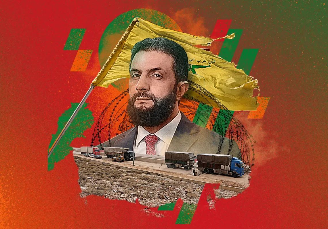
With Israel’s 2000 withdrawal, Hafez al-Assad needed a pretext to safeguard Hezbollah’s arms. The Iran-backed group, founded in the 1980s, suddenly found itself without a raison d'être to maintain its arsenal. Possibly at Iran’s behest, al-Assad declared the farms Lebanese, giving Hezbollah the pretext to keep its weapons. In his memoirs, Syrian Foreign Minister Farouk al-Sharaa recounts a call from Lebanese Prime Minister Salim al-Hoss in May 2000, inquiring about the status of the farms. Al-Sharaa affirmed they were Lebanese, insisting Israel must withdraw regardless.
Elderly Syrians were baffled—they had held Syrian citizenship since 1918, paid taxes to Damascus, and were counted as Syrians in the 1960 census. The issue lingered until Hafez’s death and Bashar’s rise in 2000. After Syria’s 2005 Lebanon withdrawal, a joint committee was established in 2008 to demarcate borders—but Bashar reneged, conditioning progress on Israel’s withdrawal from the farms.

Other contested villages
Deir El Aachayer: Split by France; its Lebanese half lies on the northern borders of the town of Rashaya. Deir El Aachayer is one of the most critical problems on the Lebanese-Syrian border, with some demanding that Syria cede its section to Lebanon, given the Lebanese origin of its residents.
Al-Tufayl (Beqaa): Lebanon’s northeastern tip, 3km from the Syrian border. Isolated, it has only one road leading to it, running through Syrian territory. A Sunni-majority town with anywhere between 3,000 and 5,000 residents, it is neglected by Lebanese officialdom.
Maarboun (Beqaa): Farmland just next to the Syrian border, which is occupied by Syrian residents.
Wadi Khaled (Akkar): Located in the region of Akkar, it is surrounded by Syria on two sides, it suffers from territorial overlap with Syria, in additional to intertwined families. Its population was originally Syrian and only got Lebanese citizenship under Prime Minister Rafic Hariri in 1994.
Jabal Akroum (Akkar): A settlement of villages also in the Akkar province, it has a geographic and demographic overlap with Syrian territory.
Jarmash (Hermel): Situated on the border strip with Syria, it was heavily used by Hezbollah and bombed by the Syrians as recently as February 2025.
Al-Jantaliya: Located opposite Hosh al-Sayyed Ali, is a mixed Syrian-Lebanese, Sunni-Shiite village with approximately 500 residents.
Matriba: An agricultural village within Syrian territory, it is inhabited by approximately 200 Lebanese Shiites and is situated just 1,500 meters from the Syrian border.
Zeita: Also situated within Lebanese territory, it is 3km from the Syrian border and is inhabited by 3,500 Lebanese Shiites. Hezbollah has often used it as a smuggling route to and from Syria.
Hawik (Qusayr): Perched in the countryside of al-Qusayr, it was a Hezbollah stronghold during the Syrian war and the scene of frequent clashes between Lebanese tribes and the Iran-backed party. It has approximately 200 residents and it lies 5km from the Syrian frontier.
Al-Diabiya: A Lebanese town also within Syria, its 700 residents are mixed between Syrian and Lebanese, and it stands at 15km from the Syrian border.
Al-Fadhiliya: One of the border villages of al-Qusayr, northwest of the Homs Province within Syria, it was attacked by Hezbollah last March, when two soldiers of the newly formed Syrian army were killed. In addition to Shiites, it has a small population of Alawite families from Bashar al-Assad's small sect.
Juroud Arsal: A mountainous region on the Syrian-Lebanese border, it has often been used for smuggling by Hezbollah and has plenty of overlapping territory with Syria.
Al-Safsafa: A Syrian village just 2km from the border with Lebanon, it too was often used by Hezbollah for illegal purposes.
Al-Hammam: A small village with approximately 200 Lebanese Shiite residents.
Wadi Hanna: Another village within the al-Qusayr vicinity, it stands at 2km from the border and is inhabited by Lebanese Shiites.
Blouza: A mixed Sunni/Shiite, Syrian/Lebanese village, it has approximately 400 residents and lies 4km from the Lebanese border.
Al-Sawadiya: A Sunni-majority village, adjacent to Zeita, with a population of 500.
Al-Bajajiya: A Syrian village of 300 residents, its Sunni population was uprooted, and it was subjected to major demographic change by Hezbollah. It is surrounded by Al-Fadhiliya from the west, and Zeita to the south.
Al-Samaqiyat al-Sharqiya: Sunni village near Hawik, it is located within Syria and unrelated to another village carrying the same name in the Syrian north.
Akoum: A former Hezbollah stronghold, it is surrounded by the Lebanese border from the south and west, and Hawik from the east.

Israeli-occupied territories
Kfar Shouba Hills: Occupied by Israel since 1967.
Al-Ghajar Village: Split in 2000: northern section (Lebanese) reoccupied by Israel in 2006.
Where do things stand today?
No clear markers exist outside formal crossings, such as the formal Masnaa border, which is used by ordinary citizens, diplomats, and commercial cargo. There are no less than 36 disputed points between Syria and Lebanon, many of which were used for smuggling by Hezbollah and al-Assad's militias, whether of captagon pills, humans, or weapons.
If anything, this proves that legal borders rarely align with realities on the ground, nor with the identities of these villages and the affiliations of their residents. And since these borders are not marked properly, we often see overlapping military intervention from both armies, which often leads to armed clashes. It also needs to be mentioned that the UN Blue Line (2000) marking Israel’s withdrawal does not align with the Syrian-Lebanese border except at the tri-border junction, which is still undefined due to the Shebaa Farms dispute.
Will Damascus reverse its stance and declare the Shebaa Farms as Syrian, thereby stripping Hezbollah of its pretext? And what of the Lebanese-majority villages inside Syria? Will Syria cede them to Lebanon, or will Lebanon surrender other contested towns?
The future is up for grabs.