
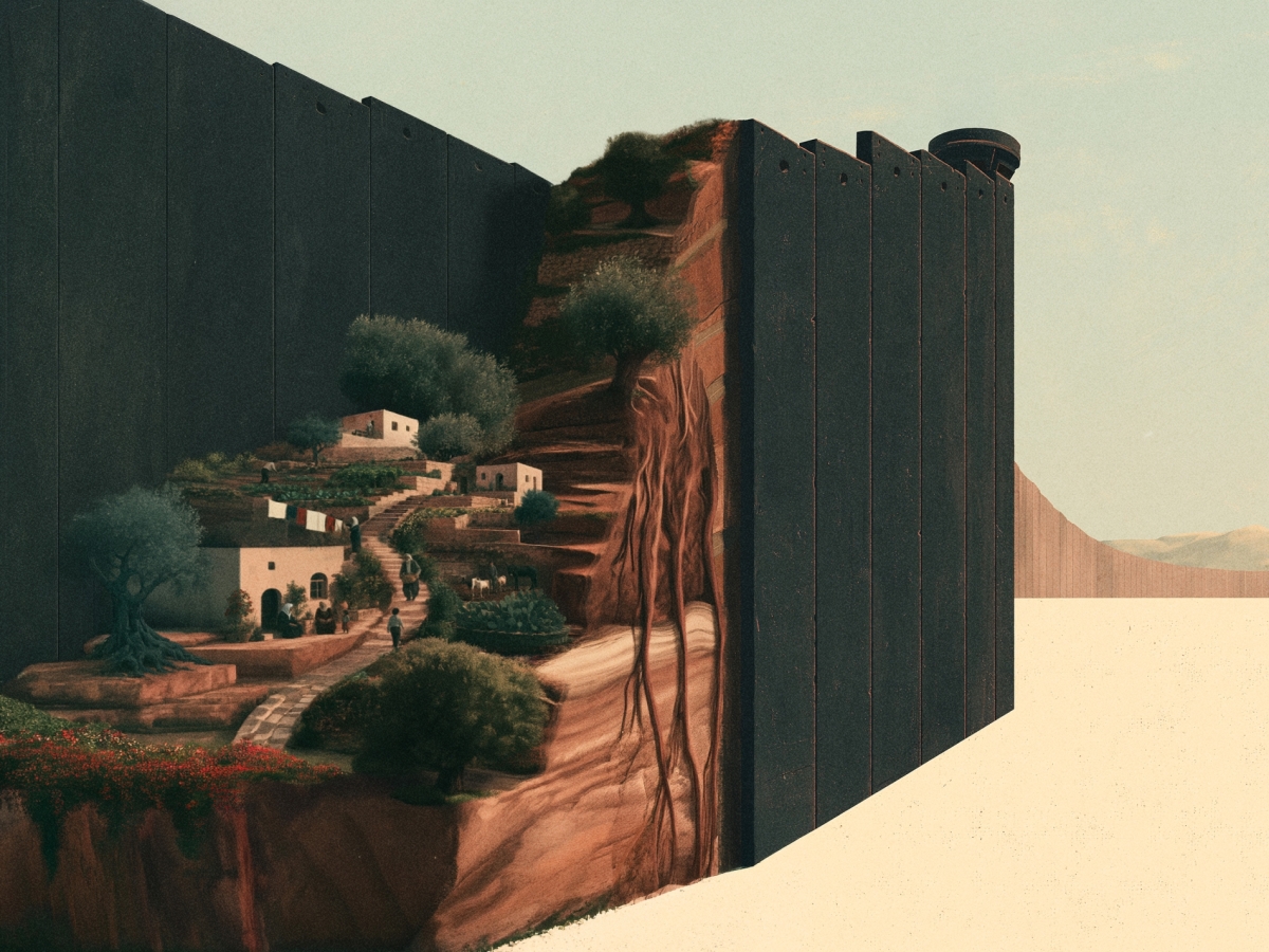

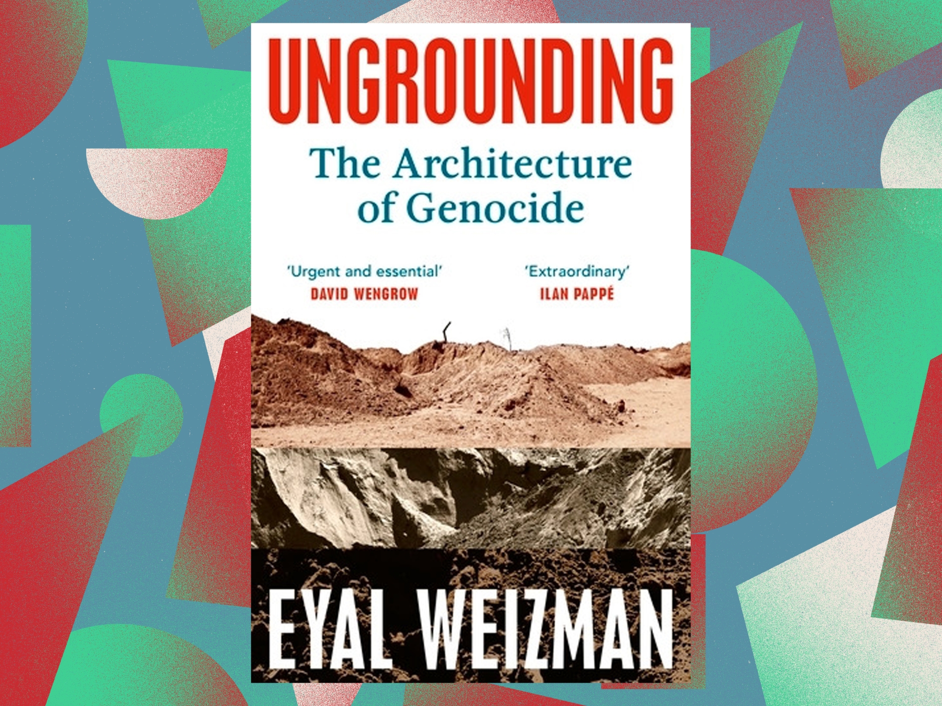
Award-winning British-Israeli architect Eyal Weizman’s new book is the latest in an increasingly long line of publications by the London-based professor, born in Haifa, whose pro-Palestinian views have led to his being denied entry to the US.
Weizman is Professor of Spatial and Visual Cultures at Goldsmiths University in the British capital and is renowned for exposing how architecture, maps, roads, settlements, and barriers structure the machinery of Israel’s occupation of Palestinian territories. Ungrounding: The Architecture of Genocide (Penguin, 2026) follows past books such as Hollow Land: Israel’s Architecture of Occupation and Forensic Architecture.
In 2007, together with the architects Sandi Hilal and Alessandro Petti, he co-founded the collective Decolonising Architecture (DAAR) in Beit Sahour, Palestine. Three years later, he established Forensic Architecture, an investigative agency that applies architectural and spatial knowledge to examine state violence and human rights abuses.
It brings together architects, filmmakers, journalists, programmers, lawyers, and researchers, weaving witness testimony, video, aerial imagery, maps, and digital modelling into reconstructions that determine the location and chronology of events. Its investigations have been presented before courts and international bodies, and have appeared in reports, exhibitions, and media platforms.
Architecture is politics
In Ungrounding, Weizman draws especially on the agency’s investigations in the Gaza Strip and on material prepared in support of South Africa’s case against Israel before the International Court of Justice. Although the term ‘ungrounding’ is often rendered in Arabic as ‘uprooting’, in English it carries a broader resonance, binding together the physical earth and the foundations upon which life depends.
The concept reaches beyond bulldozing soil or removing a population from its place. It encompasses the effacement of the traces that attest to a community’s presence, the destruction of infrastructure, soil and the subterranean realm, and the subsequent remaking of space from its own debris within a new military geography.
Weizman opens the book with two propositions that illuminate its argument. The first is that “architecture is politics slowed down into form”. The second is that “the incident is architecture exploding into politics”. The first conceives architecture as politics accumulated over time and given material expression in borders, roads, settlements, embankments, and infrastructure. The second suggests that a violent incident, however sudden, reveals this latent spatial order and thrusts it abruptly into political visibility.
Systemic reorganisation
The book moves continually between slow violence, which reshapes land across decades, and explosive violence, delivered by bombs and bulldozers in moments. Its title captures this interplay between architecture and destruction. The ‘architecture of genocide’ refers to no architectural style; rather, it describes a spatial and material system through which displacement, killing, siege, and the destruction of the conditions required for life are organised.
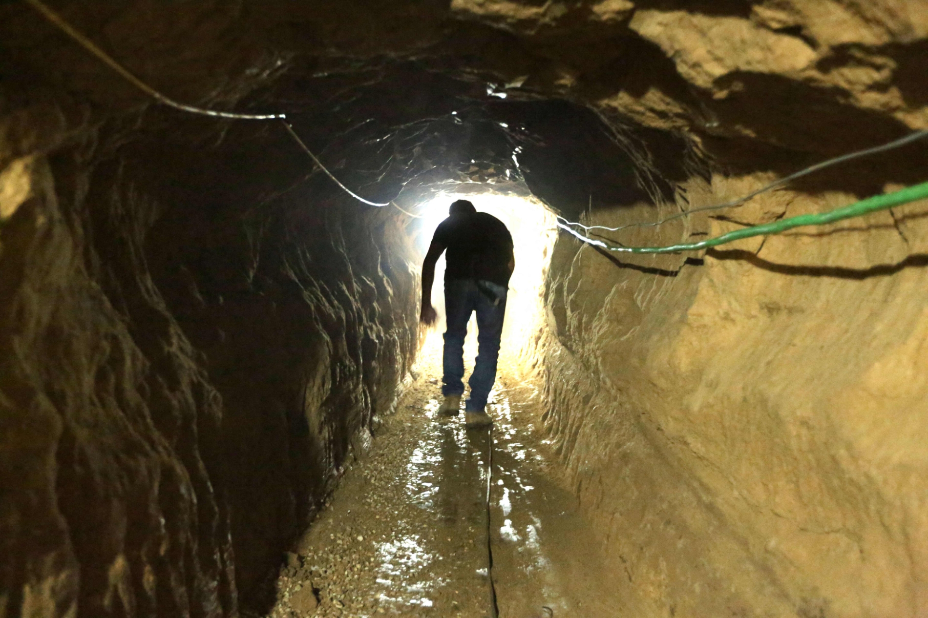
Weizman develops this thesis across three interlinked sections: Soil, Subsoil, and Ungrounding. ‘Soil’ returns to the British Mandate, the Nakba (Catastrophe), and the formation of the Gaza Strip and the settlement belt surrounding it. ‘Subsoil’ begins in 1967 and traces the evolution of tunnels, infrastructure, and spatial knowledge under siege. ‘Ungrounding’ examines the emergence of an architecture of genocide from October 2023 onwards.
This progression is as spatial as it is chronological. It delves into the earth’s depths, then rises again to a surface that has been overturned, poisoned, and reshaped. Through this movement, the Nakba appears as a continuous history of displacement and siege, and as an enduring process through which the land is transformed, and Palestinians’ relationship to place is repeatedly reorganised.
Section 1: Soil
The first section returns to the British Mandate and the 1948 Nakba, then extends into the late 1950s. It centres on the Palestinian village of Ma’in Abu Sitta and the settlement of Nirim, using them as a lens through which to read the transformation of southern Palestine. The region had once formed part of Palestine’s breadbasket, providing fruit, vegetables, and wheat through a landscape of fields, orchards, wells, and the agricultural production of surrounding villages.
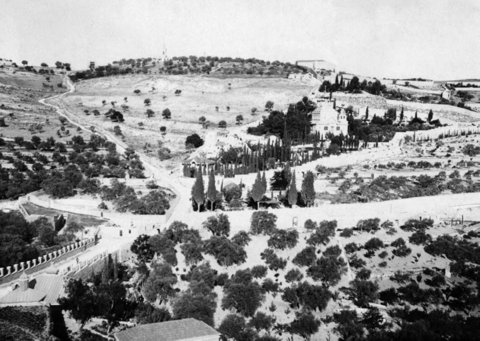
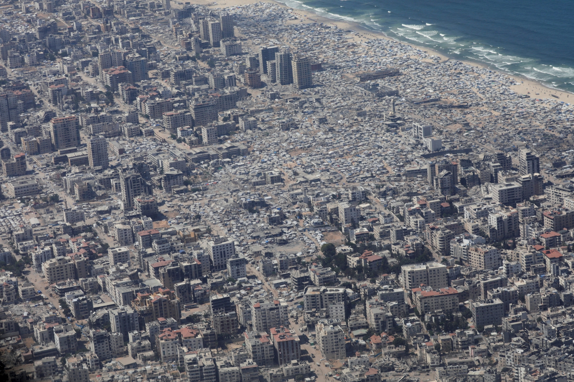
After its inhabitants were expelled in 1948, Nirim was established on Ma'in's lands. The area gradually became an agricultural settlement belt surrounding the Gaza Strip. Weizman begins with a striking scene from 1950, when a tractor converted a line on a map into a physical scar across the land.
The plough cut through fields, orchards, and valleys, at times passing between neighbouring lands and villages. This ‘plough line’ had no international standing as a recognised border, but contributed to the formation of two complementary spatial entities: the Gaza Strip, into which refugees had been concentrated, and the Gaza Envelope, a front of agricultural and military settlements established to encircle them and obstruct their return.
Agriculture thus became entwined with violence. Ploughing and cultivation were used to efface the ruins of villages, property boundaries, roads, and cemeteries, and fresh greenery was laid over them to cover the traces. The force of this section lies in its treatment of soil as a material archive bearing the history of ownership, labour, expulsion, and resistance. Palestinians appear as active agents rather than passive victims, such as when residents of Abasan and Khuzaa, including women and children, gathered to obstruct the demarcation of the line and succeeded in shifting it at one point.